News
The Latest Updates To Winter Storm Jonas
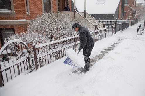
The waiting game is oftentimes the hardest part of gearing up for potentially dangerous winter weather. As meteorologists keep watch on a storm's path in the days before its potential touchdown in an area, you sit there wondering if going to the hardware store to buy seven additional shovels (just in case) or to the supermarket to stock up on enough groceries to last a month is really necessary. The predicament of not knowing can drive you to insanity. Fortunately, the country's latest snow dump is now hours away, and winter storm Jonas updates show a few locations will be hit the hardest.
Winter Storm Warnings
In the last 24 hours, large swaths of land in Mid-South and East Coast states have switched over from having a winter storm watch to either a winter storm warning or winter weather advisory. The winter storm warning includes most or all of Virginia, West Virginia, Kentucky, North Carolina, and Tennessee. Parts of Pennsylvania, Ohio, South Carolina, Mississippi, Georgia, and Arkansas are also seeing storm warnings.
Blizzard Warnings
Maryland and Washington, D.C., where blizzard watches were in place on Wednesday, are now on blizzard warning and are expected to be hit hardest by Jonas. Additionally, a blizzard watch has popped up in Delaware, eastern Maryland, southern New Jersey, and the Philadelphia metropolitan area.
Freezing Rain Advisories And Ice Accumulation
A freezing rain advisory has been introduced in parts of southeastern North Carolina as well as in South Carolina's mid-section. The forecasted ice accumulation is highest in parts of North Carolina, including Charlotte and Greensboro, with an estimate of half an inch and 1 inch. And most of the state of Kentucky is expected to receive a quarter inch to half an inch of ice.
Snowfall Predictions
Baltimore and Washington, D.C. are the metropolitan areas expected to receive the most snowfall, with a forecasted 18 to 24 inches. There is, however, quite a bit of the eastern United States showing the same potential for 2 feet of powder, including western Virginia and eastern parts of West Virginia (let's see if you can wrap your head around that). Moving outward from the predicted storm center that is Virginia and Maryland, the forecasted snowfall decreases. Cities including Richmond, Greensboro, Charleston, Philadelphia, and potentially Lexington should prepare for 12 to 18 inches. The New York metropolitan area could find itself with up to a foot of snow, or could see as little as 5 inches depending on what exact path Jonas takes.
When's all this going to happen?
Thursday night brings sleet and freezing rain in the Mid-South, while Virginia just begins to see snowfall. Then, on Friday, rain turns to snow for this region, as well as in the Tennessee Valley. Cities including Washington, D.C. and Charleston should expect to see snowfall begin Friday afternoon as Jonas moves northward. By Friday night, Philadelphia, southern New Jersey, and cities as far west as Cincinnati and Louisville will join in. Most of the Mid-Atlantic will see snow (and wind for locations closer to the Eastern seaboard) throughout Saturday. Snowfall is expected to continue along the northeastern coast well into Saturday night, until Jonas takes his leave before sun-up on Sunday.
