News
Nat'l Geographic Won't Map Crimea As Russia
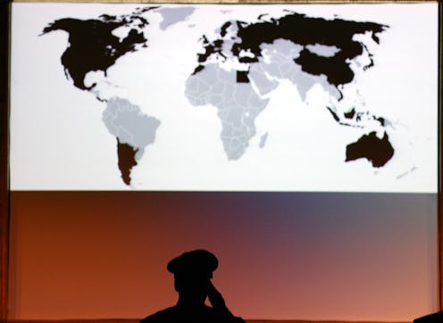
Out of the many problems caused by Russia’s attempted annexation of Crimea, one smaller one has received relatively little attention: What do we write on the maps? That’s what cartographers are trying to figure out right now. The answer, as you might expect, depends on who is making the maps: For the National Geographic Society, it's a done-and-dusted matter.
The U.S. State Department, for example, considers the Russian invasion of Crimea to be illegal, and as such, won’t be changing its maps any time soon.
But the National Geographic Society, one of the few non-governmental cartography organizations in the world, has to be a bit more apolitical about the situation. There were reports earlier this week that NGS was going to simply label Crimea as part of Russia, but those reports are wrong, as the organization made clear Wednesday. It’s NGS policy “to portray, to the best of our ability, current reality,” and so the organization is taking a middle path. If Friday’s vote to formally annex Crimea into Russia passes through Russian parliament — and don’t worry, it will — NGS will color Crimea a shade of gray to indicate that it’s disputed territory.
In the case of Crimea, if it is formally annexed by Russia, it would be shaded gray and its administrative center, Simferopol', would be designated by a special symbol,” NGS said in a statement. “When a region is contested, it is our policy to reflect that status in our maps. This does not suggest recognition of the legitimacy of the situation.
It’s a tricky balancing act. To those opposed to the annexation, changing the label at all could be seen as tacit recognition that, at the very least, the situation is debatable. Similarly, refusing to modify it in any way would be a carte blanche rejection of Russia’s claim to ownership of Ukraine. Therefore, like any good compromise, the NGS decision will probably leave everybody at least a little bit unhappy.
