News
How To Track Hurricane Matthew
They say ignorance is bliss, but when the news says there's a hurricane barreling down on parts of the United States, it's best to educate yourself, and fast. A Category 3 hurricane continued to move north along Florida's coast Friday with high winds, heavy rains, and storm surge expected to pound areas of northeast Florida, Georgia, and South Carolina over the weekend. So, how can you track Hurricane Matthew?
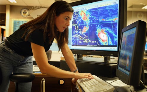
Meteorologists use satellite, reconnaissance aircraft, and weather balloons to gauge the projected path and intensity of a storm system like Hurricane Matthew. By nature, however, hurricanes are hard to track given their unpredictability. Hurricane Matthew, for example, has changed course more than once since it first developed near St. Lucia more than a week ago.
"The reason that hurricane forecasting isn't more of an exact science is because we are limited by the data that we get," NBC News meteorologist Bill Karins told the news outlet. "We're limited by the data that's given to us by these satellites, by these drones that fly through these storms, or the hurricane hunters who fly right through the eye. There's only so many of them and the storm is so huge. All that data goes into a computer model. The computer models would be a lot better if it had a lot better data."
For those in Hurricane Matthew's projected path, or for any eager amateur hurricane hunters, there is more than one resource for tracking Hurricane Matthew. (Although I really recommend you do this from the safety of your own home and not by flying into the eye of a hurricane like the NOAA Hurricane Hunters regularly do.)
The National Hurricane Center offers a slew of different tracking resources, including forecasts, maps, wind charts, advisories for possibly affected areas, and a five-day forecast cone, which shows the estimated path of the storm along with forecast uncertainty for up to five days. Hurricane Matthew can also be tracked via Weather Underground, which publishes satellite and radar images of the storm system as well as maps of its projected path and wind speed. CNN's Hurricane Matthew Tracker also allows people to stay up-to-date with the storm system's exact location, pressure, wind speeds, projected path, and rate of travel.
Hurricane Matthew tore through the Caribbean earlier this week, leaving a path of devastation miles long with at least 269 people reported dead before weakening to a Category 3 storm system and boring down on Florida early Friday. It's expected to move north toward Georgia and South Carolina's coastal areas.
