News
D.C. Just Experienced A Possible Derecho & The Type Of Storm Is As Intense As It Sounds
On Monday night, heavy rainfall and thunderstorms that left behind flooding and wind damage in Washington, D.C. may meet the criteria for a derecho, or a fast-moving band of thunderstorms with incredibly damaging winds. There was a flash flood warning for all of Washington, D.C. and its northern and western suburbs, as well as a severe thunderstorm warning for the District.
An NBC affiliate for Washington, D.C. reported that there was even a tornado warning at Washington Dulles International Airport. Airline passengers, as a result, were advised to stay away from windows. In addition, planes were temporarily grounded at Dulles and Ronald Reagan Washington National Airport, the network reported. And rain wasn't the only thing pelting down. Hail was also reported near Dulles and Charles Town, West Virginia, a town about 90 minutes outside of the District.
NBC4 reported that thousands in Virginia are without power because of the storm. In Northern Virginia, more than 38,000 people are without electricity as of 8:30 p.m. ET. Meanwhile, in Montgomery and Prince George's counties, more than 1,000 people are stuck in the dark.
Most derechos happen in the summer months between May and August, according to Vox. But a researcher at University of Oklahoma’s Cooperative Institute for Mesoscale Meteorological Studies said derechos are a hard type of storm to track.
“They are a particularly difficult nut to crack,” Stephen Corfidi told Vox.
According to NOAA, the winds can be as strong as those in a hurricane or tornado. As Vox reports, the storm needs a layer of cool, dense, and dry air on top of moist and warm air at ground level. The rising of the warm air and the sinking of cool air creates the storm. Not to mention, the storms are huge. According to NOAA, the storm's area must have winds of at least 58 miles per hour and the damage path must be at least 240 miles long.
As Corfidi explained to Vox:
To distill it down in simplest terms, it’s a line of regenerating thunderstorms and they regenerate in a very organized ways. They’re very efficient in restoring the equilibrium over a large area.
As large as they are, derechos can also be deadly. You might remember a 2012 derecho that hit the mid-Atlantic region and killed 13 people. The storm also knocked out power lines, affecting a million people, in Washington, D.C.-Baltimore region as a heat wave erupted.
NOAA was cautious to say if the planet's warmer temperatures would make these kind of storms more severe.
"There is nothing to suggest that a warmer world necessarily would favor stronger derechos,” according to NOAA, via Vox. “What can be said with greater certainty about derechos and climate change is that the corridors of maximum derecho frequency likely would shift poleward with time.”
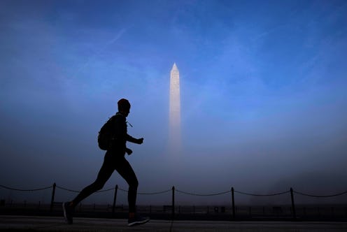
After Monday's storms, people began to post beautiful sky photos, including the one above. In certain parts of the District, the ending of the harsher points of the storm coincided with sunset, producing warm coral and purple skies.
According to The Washington Post, "strong to severe" thunderstorms will roll across the area from northwest to southeast during Monday night. On Tuesday, the newspaper says Washington, D.C. residents should expect humidity with some storms again. The newspaper reported that storm hazards like hail and strong winds could happen on Tuesday, as well.
The Weather Channel reports that a flash flood warning will remain in effect in and around Washington, D.C. until 10 p.m. ET tonight. The forecast for Tuesday will have highs in the 90s with humidity likely above 50 percent, sometimes reaching 88 percent, throughout the day.
